Free
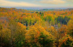
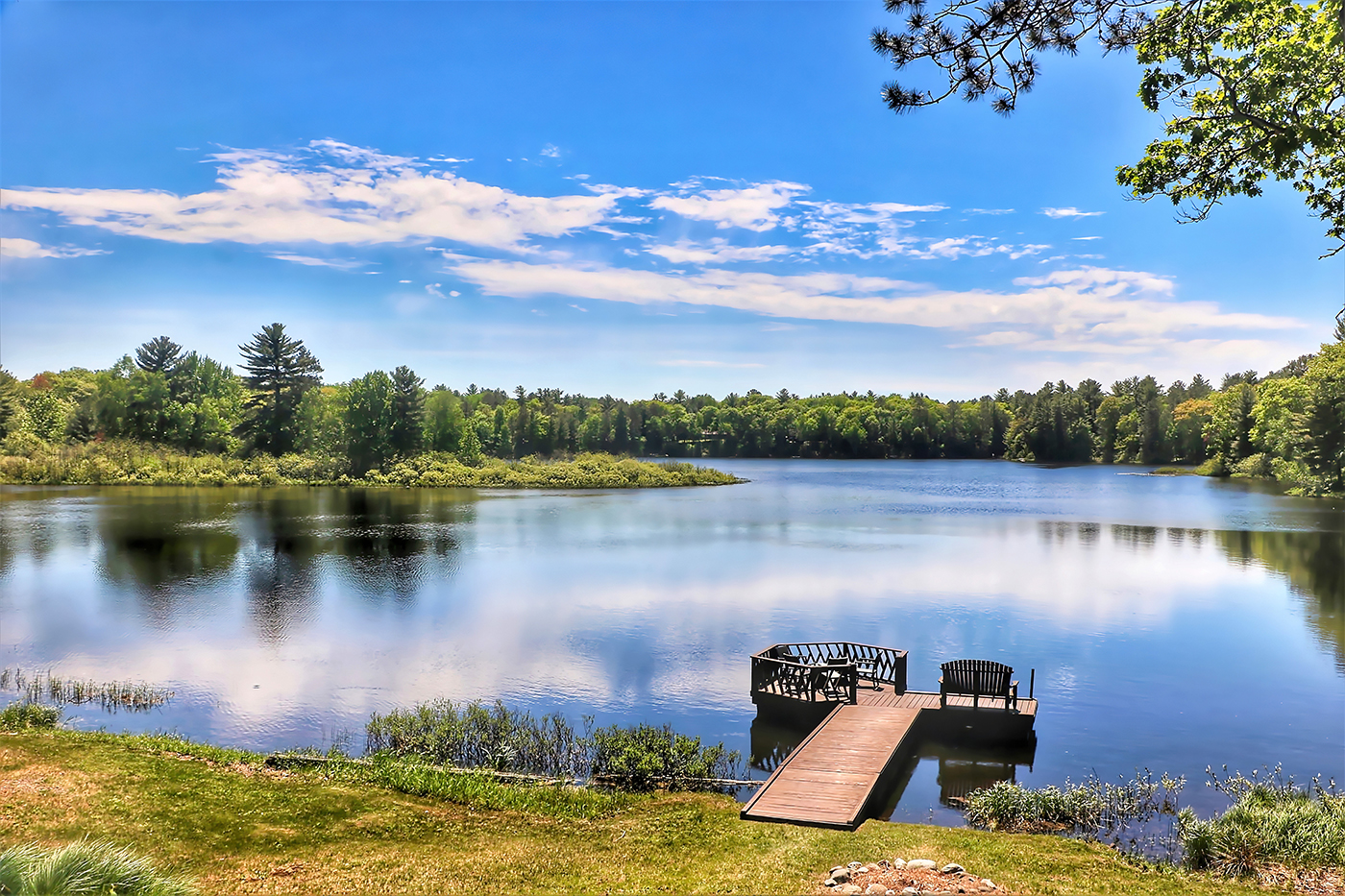
While Minnesota, our neighbor state to the west, is known as the “Land of 10,000 Lakes,” Wisconsin actually has more lakes than that – over 15,000.
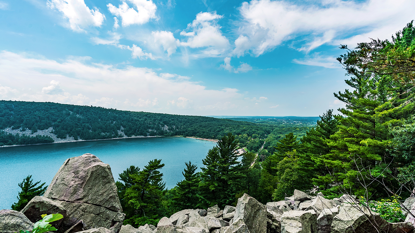
Most, including Lake Michigan and Lake Superior, were formed by glaciers at the time of the last ice age, known as the Wisconsin Glaciation. During this period, glaciers (huge masses of slowly moving ice, snow, rock, and sediment) covered much of northern and eastern Wisconsin. As they melted, they created depressions that filled with water and became lakes, ponds, and wetlands. Surrounding these bodies of water is a patchwork of lowlands, plains, and highlands.

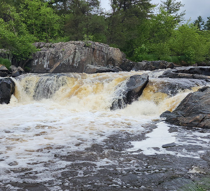
▲ The Lake Superior Lowland is the northernmost part of the state. It’s a small area, extending no farther than 20 miles inland from Lake Superior’s shore. The land is mostly flat and slopes down toward the shore. The region is known for its forests – made up of aspen, birch, and evergreens – its wetlands, and its waterfalls. At the northernmost tip is the Bayfield Peninsula, a finger of land reaching into the lake. From there you can see the 22 Apostle Islands.
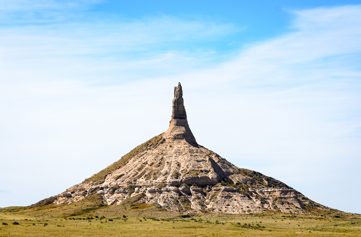
This is Timms Hill, halfway between the North Pole and the equator. At just under 2,000 feet, Timms Hill is the highest point in Wisconsin. It is part of the 1,200-mile Ice Age Trail, which follows the path of the last glacier. The trail is one of the few National Scenic Trails located wholly within a single state. Timms Hill is named for logger Timothy Gahan, who had a camp nearby. And it’s the highest state high point that’s called a hill. ▶
▲ The Central Plain is a U-shaped area immediately south of the Northern Highland. Here, you’ll find sand plains – flat, open regions formed by deposits of sand left behind by the glaciers. Rising up from the surrounding land are buttes, tall, steep-sided rock formations with flat tops. The Central Plain is also home to glacial lakes, wetlands, and marshes.
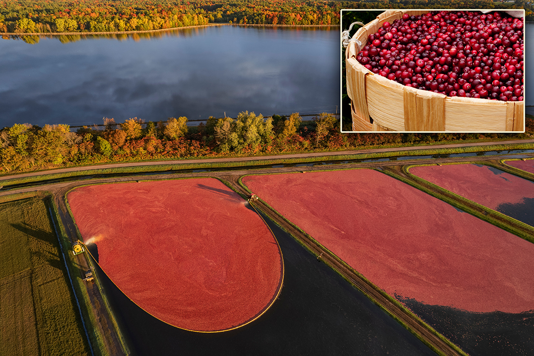
▲ Wisconsin’s marshes are just right for growing cranberries, an important part of Wisconsin’s economy. Our state produces more cranberries than any other state, providing over half of the country’s yearly supply. Indigenous (Native) peoples harvested cranberries long before Europeans arrived.
Loading the player...
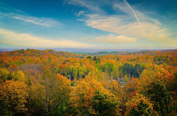
▲ Here, in the Eastern Ridges and Lowlands region, glaciers left behind a thick layer of rich soil on top of limestone rock. This fertile land runs along Lake Michigan, where you’ll find sandy beaches and high bluffs. (A bluff is a hill with steep sides that often overlooks a body of water.) The region extends west to the Central Plain and Western Upland and east to the Niagara Escarpment. The escarpment is a rocky ridge that goes all the way from Wisconsin to Niagara Falls in New York. Soil in this region is some of the best in the world and supports agriculture that includes corn and soybeans. Along the shores of Lake Michigan in the Eastern Ridges and Lowlands region is where you’ll find the lowest elevation in the state – less than 600 feet above sea level.
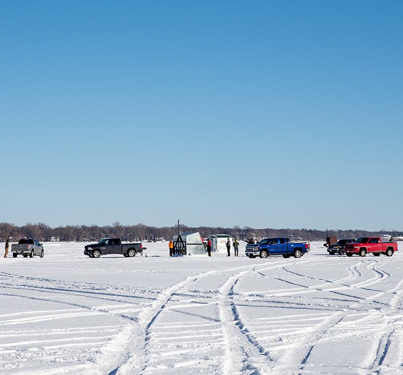
Lake Winnebago, in the Eastern Ridges and Lowlands region, is often called Wisconsin’s Third Great Lake. Though it’s not one of the five actual Great Lakes, it is Wisconsin’s largest inland lake. (An inland lake is one that’s not connected to the ocean.) At 215 square miles, Lake Winnebago is more than twice the area of Milwaukee. Fishing takes place here all year round. In winter, ice fishing is especially popular, when lake ice is so thick that people can drive their trucks on it. ▶
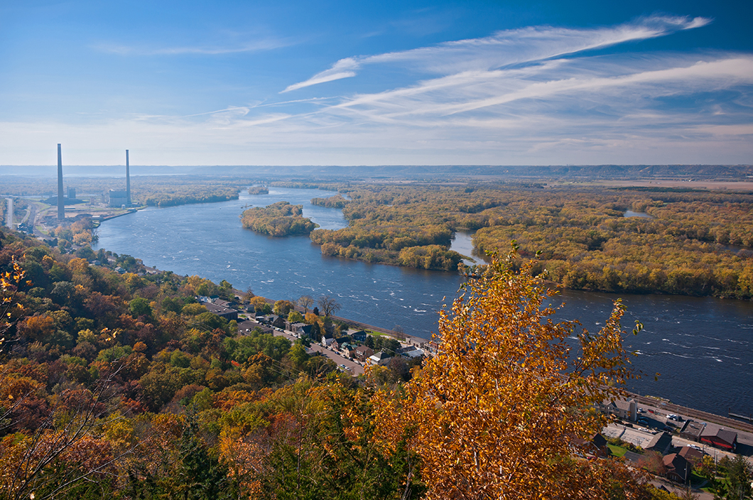
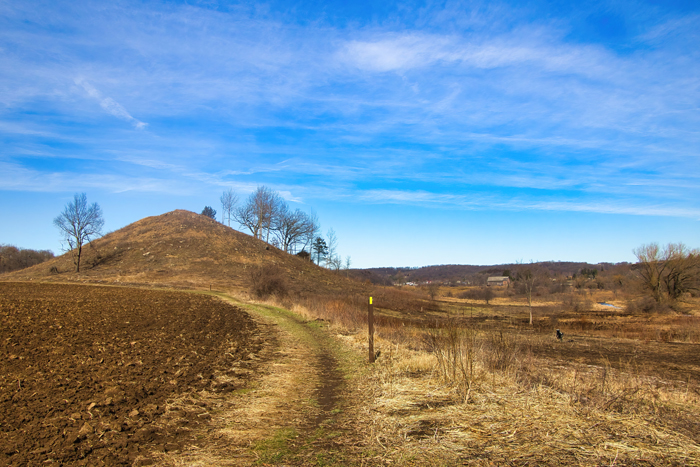
▲ The Western Upland region extends from the Central Plain and the Eastern Ridges and Lowlands to the Mississippi River in the west. Here, you’ll find amazing views from high bluffs and deep gorges. Here too are hills, valleys, and more than 250 caves. The southwestern part of the Western Upland is part of a large region called the Driftless Area. Drift, the material left behind as glaciers moved, had the effect of smoothing out the land. Since glaciers didn’t cover this part of the state, it’s known as the Driftless Area.
Loading the player...
▲ Extending north from the southeast corner of the state are 400 miles of Lake Michigan shoreline. Wisconsinites and others enjoy the beaches as well as Wisconsin’s section of the Lake Michigan Water Trail. The trail features over 500 miles of cliffs, sand dunes, marshes, and sandy beaches. The lake provides drinking water for the people of Milwaukee and other Wisconsin communities. It’s also an important stopover spot for migrating birds. More than 400 million years ago – long before Lake Michigan even existed – a saltwater sea covered the land. Today, fossils of coral and other sea life from that time wash onto the shore.
If you’re in Wisconsin, you’re never too far from water. In addition to the Great Lakes and the more than 15,000 other lakes, the state is crisscrossed by more than 12,000 rivers and streams. The Mississippi and the St. Croix Rivers form our western border. The Wisconsin River, which flows west into the Mississippi, is our longest. The Fox River begins in the north and flows into Lake Michigan. Indigenous peoples and Europeans used our waterways for trade and travel. Today, many people enjoy whitewater rafting as well as canoeing, kayaking, and fishing. ▶