Free
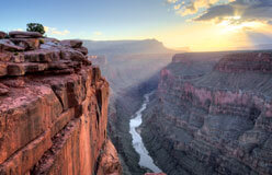
The Grand Canyon is a paradise for geologists, or scientists who study the history and structure of Earth.
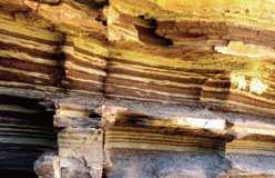
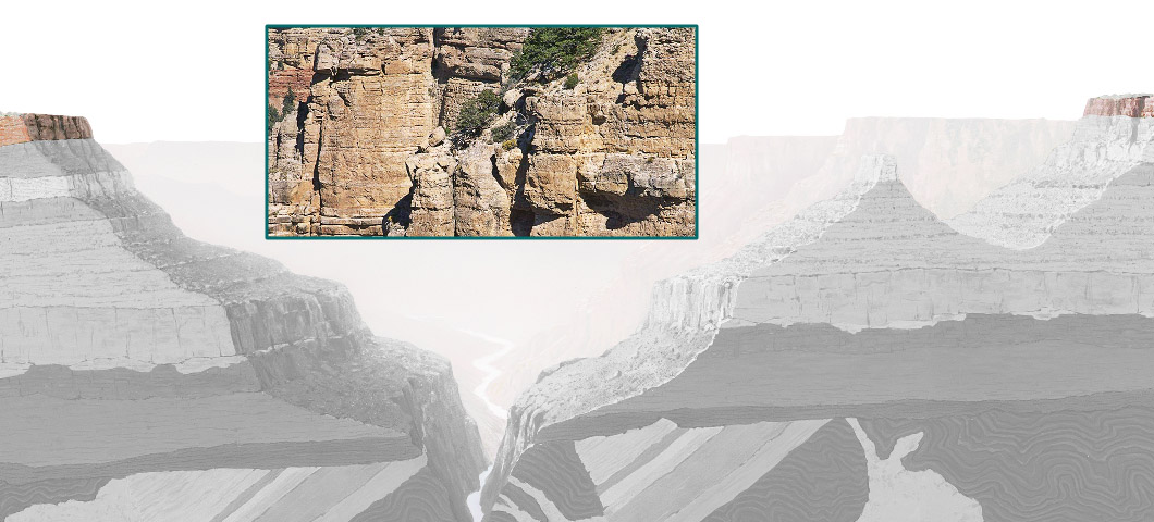
One way geologists do this is by examining rocks, reading their colors and textures like a history book. Each level tells a different story.
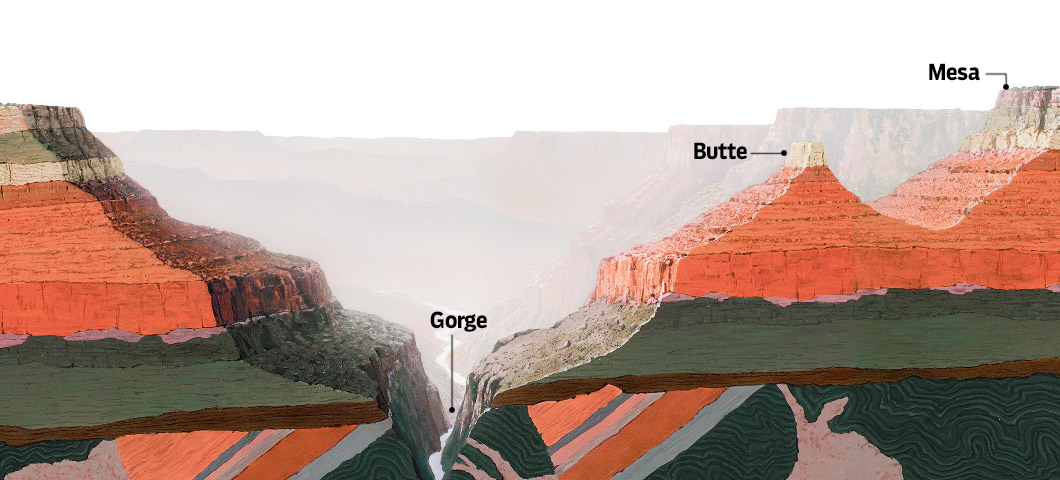
Erosion has exposed a vertical mile of strata along the canyon walls. Strata are layers of rock. Each layer was formed in a different time period, in which the ocean moved in, covered the land, and then retreated.
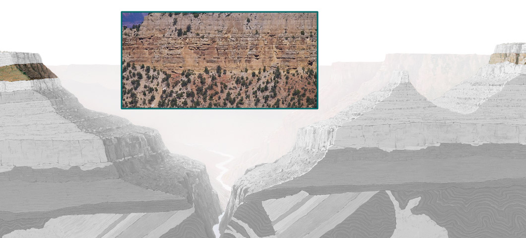
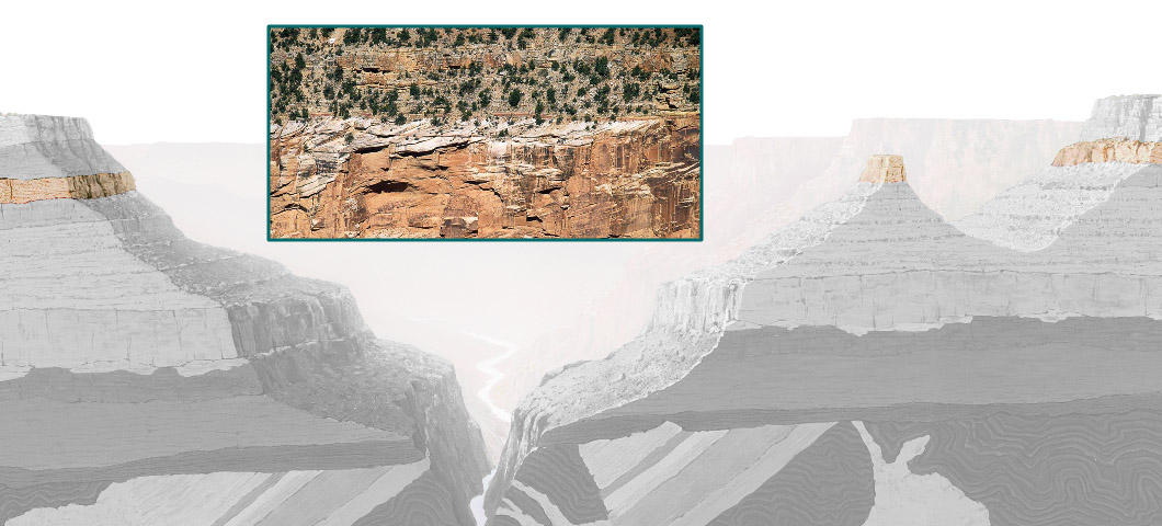
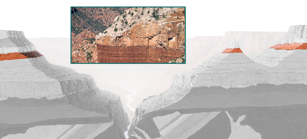
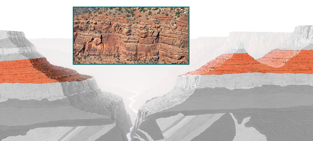
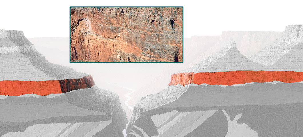
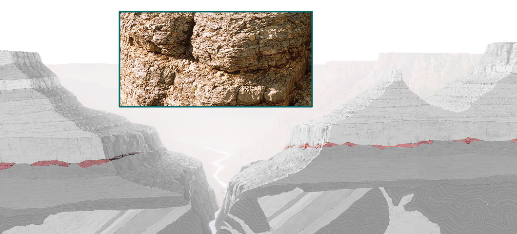
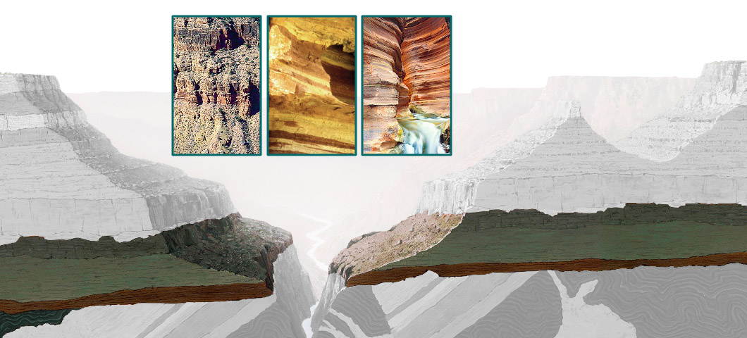
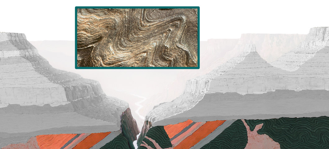
Layers of the Canyon
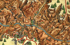
The Grand Canyon’s natural landscape features deep gorges and towering buttes. It also has broad, flat-topped mesas (Spanish for “tables”) with steep sides.
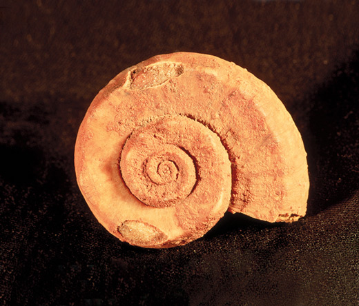
◀ Fossils are the remains of traces of ancient life. The rivers and seas that covered the Grand Canyon region served as homes for a great variety of creatures. Archaeologists found this snail-like fossil in the Kaibab limestone layer.
Sections of the Canyon
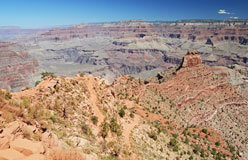
▲ The South Rim gets about 15 inches of precipitation a year, and most visitors go here.
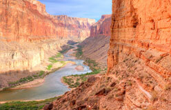
▲ The inner canyon is hot and dry, and it can only be reached on foot, by mule, or in a boat. The floor of the canyon is about a mile below the South Rim.

▲ The North Rim is the most remote, coldest, and wettest section. Heavy snowfall is common during the winter, closing much of it to visitors.