
Think about your trip to school.
Did you ride in a bus or a car? Did you walk on a sidewalk? Did you cross an outdoor playground? Under the concrete roads, sidewalks, playgrounds, and buildings is land – all kinds of land in all kinds of shapes.
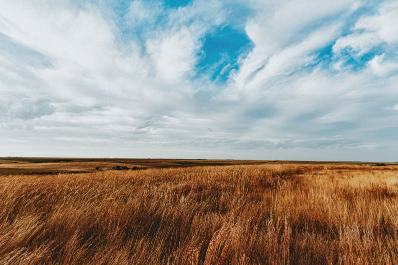
◀ The land is low and flat. Large areas of low, flat land are called plains. Almost half of Earth’s land is plains.
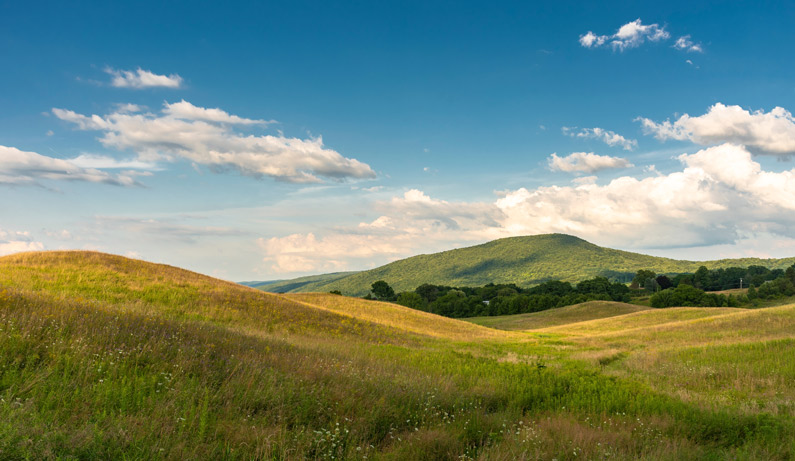
If you’re climbing up to the top of something or down to the bottom of it, you may be on a hill. Hills are like bumps in the Earth. They are higher than the land around them and have slanting sides. Most hills are rounded at the top. ▶
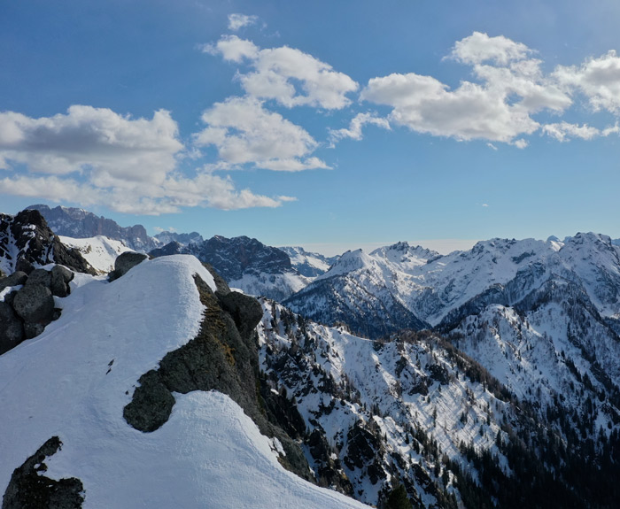
◀ If you want a bird’s-eye view of the world, you’ll have to go to the top of a mountain. These gigantic landforms are the tallest chunks of land on Earth. Some mountains are almost six miles high! Most have steep sides and a peak, or point, at the top. Many mountains are part of a range, or chain. The Rocky Mountains and the Appalachian Mountains are two ranges in the United States.
In the midst of a mountain range, you might find a plateau. Plateaus are similar to plains, except that they are high. Most have steep sides and a flat top. Plateaus are sometimes called tableland. Look closely at the photograph to see why. ▶
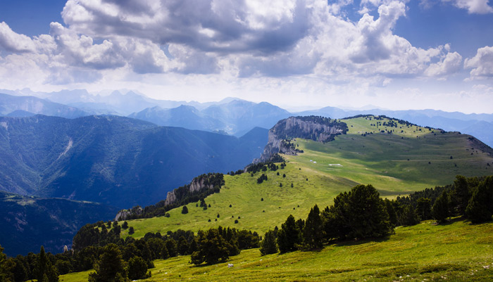
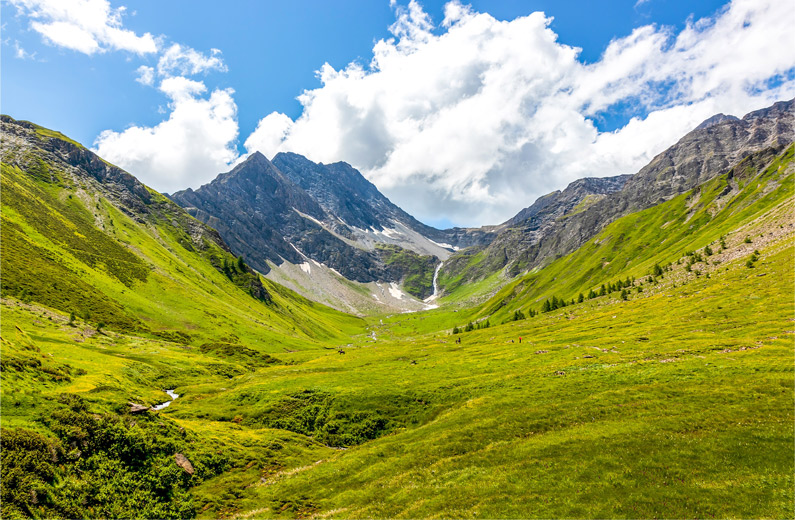
◀ A valley is like a big, long ditch that lies between mountains or hills. The shape of a valley may remind you of the letter U or V. At the bottom of many valleys is a river. River valleys that wind through rock are called canyons.
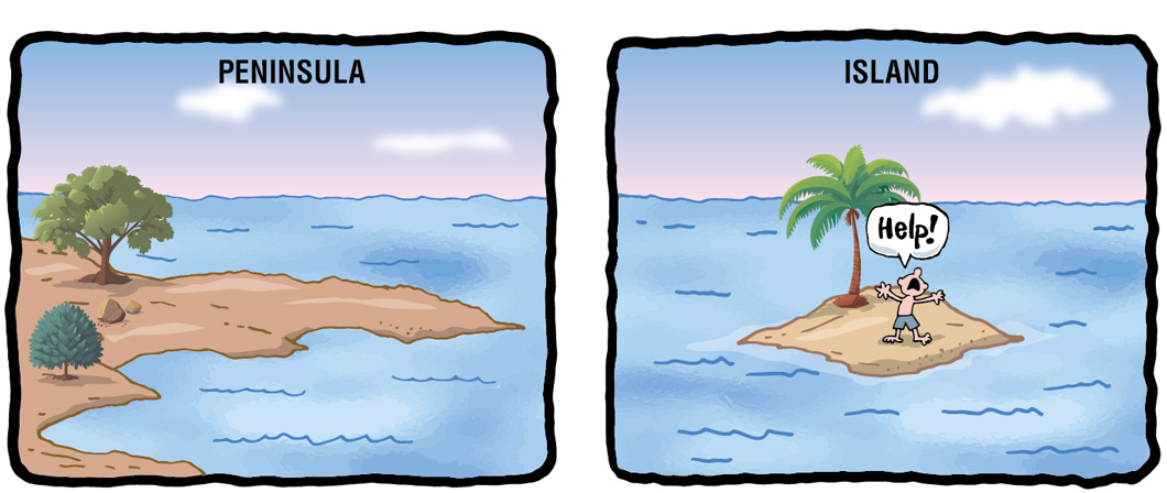
Think Piece!
How would you describe these landforms?
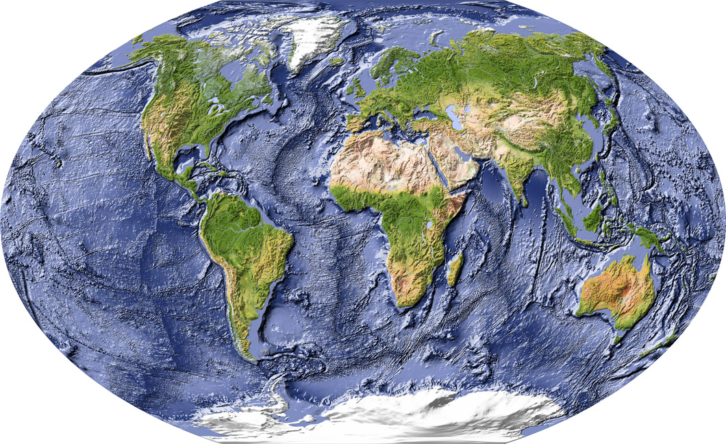
▲ Imagine that you’re standing on a beach, looking out over the ocean. Except for a few small waves, the water may be calm. It looks almost flat. You might think the bottom of the ocean is flat too. But it’s not. All the shapes of land on Earth’s surface are also on the floor of Earth’s oceans. That includes mountains, valleys, plains, and plateaus. In fact, islands are actually the tops of mountains that stick out above the water.


