Free
If you were to hike the 300 miles of the northern border of our state, you would have two options.
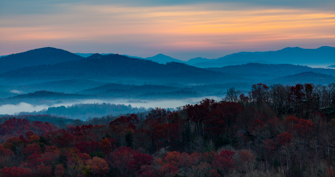
You could travel mostly downhill from west to east or mostly uphill from east to west. Either way, you would traverse each of our three geographic regions: the Mountain Region, the Piedmont, and the Coastal Plain.
◀ Mount Mitchell in the Blue Ridge Mountains stands as the highest peak in North Carolina. It is also the highest peak east of the Mississippi River. The peak was named to honor university professor Elisha Mitchell who, in 1835, identified it as the highest point east of the Rockies. The summit, or uppermost portion of the mountain, extends more than a mile above sea level.
Loading the player...
▲ It is called the Mile High Swinging Bridge. The name reflects that it rises more than a mile above sea level and it oscillates, or sways, as pedestrians walk across it. This suspension footbridge ranks as the highest in the U.S. A suspension bridge is a structure that hangs from cables secured to tall towers. The bridge is situated on Grandfather Mountain, which comprises part of the Blue Ridge Mountains. Grandfather Mountain itself is designated as part of the Southern Appalachian Biosphere Reserve. Consequently, it is recognized by the United Nations Educational, Scientific, and Cultural Organization as one of the most important natural places on the planet.
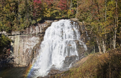
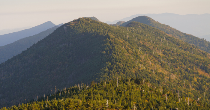
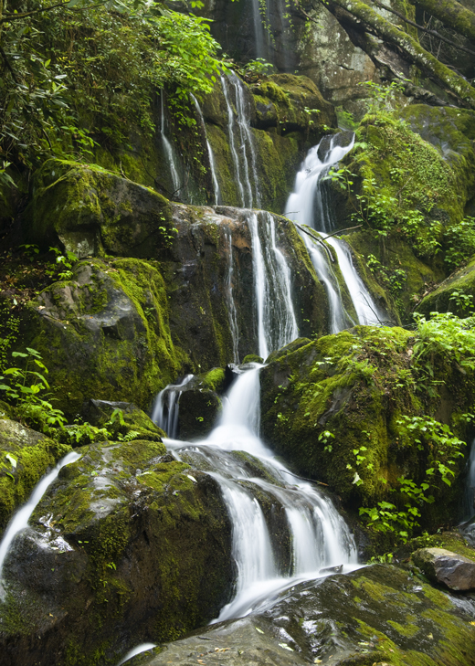
The Great Smoky Mountains are a significant range within the Appalachian Mountains. The national park encompassing them ranks among the most visited national parks in the U.S. Similar to the Blue Ridge Mountains, their characteristic smoky haze originates from chemicals released by trees. The Great Smokies contain numerous waterfalls, including the Place of a Thousand Drips. This name alludes to the numerous pathways that generate trickling water down the mountainside. The water flow intensifies following rainfall. ▶
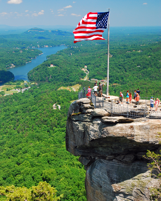
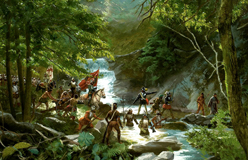
◀ Chimney Rock is 535 million years old. The rock formation resulted from the erosion caused by wind and water and by ice that underwent repeated freezing and thawing cycles. From the rock’s summit, observers can view the Blue Ridge Mountains in one direction and the rolling hills of the Piedmont in another. Indigenous (Native) peoples used Chimney Rock as a landmark and revered it as sacred. Nineteenth-century science writer and gardener Silas McDowell characterized Chimney Rock in the following manner:
One of Nature’s sublimest poems, where objects are so weird, beautiful and grand that words cannot translate them, and they can only be seen and felt when we look, wonder and admire in dumb amazement.
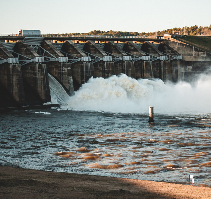
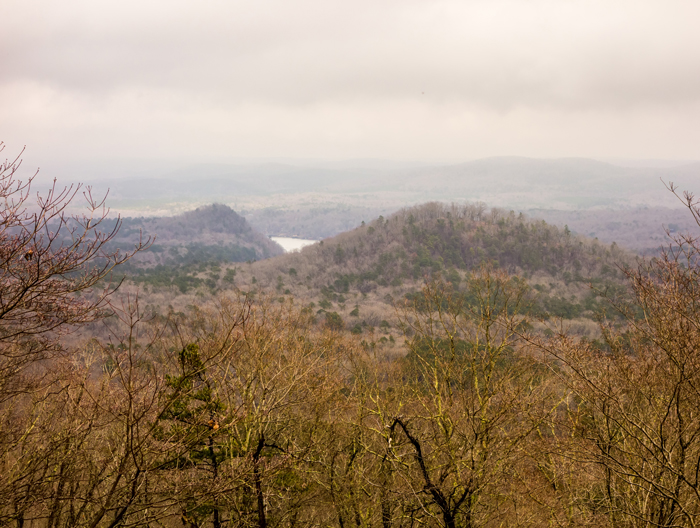
◀ The term piedmont derives from two Italian words meaning “foot” and “hill.” This central region of North Carolina extends 200 miles eastward from the foothills of the Blue Ridge Mountains. Rolling hills, fertile soil, and productive farmland establish the Piedmont as an economic center of North Carolina. Consequently, nearly all of North Carolina’s major cities are situated in this region. Historically, the small rivers and streams of the Piedmont supplied water power for manufacturing operations. Today, the Roanoke and Catawba Rivers generate hydroelectric power. Hydroelectric power harnesses moving water to generate electricity.
Formed approximately 500 million years ago, the Uwharrie Mountains rank among our country’s oldest mountain systems. Originally, these mountains rose as high as the Himalayas – the tallest mountains in the world today. However, over millions of years they have undergone substantial erosion. Presently, the tallest mountain in the range measures only about 1,000 feet. Gold was discovered here in 1799. Panning for the precious metal continues to be permitted. ▶
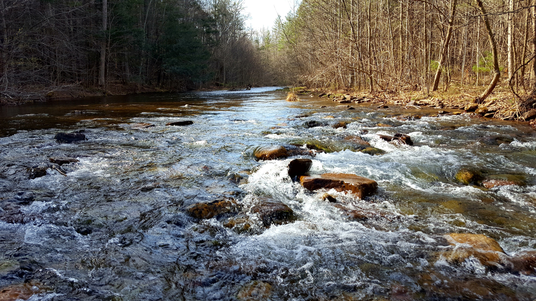
▲ At the eastern boundary of the Piedmont lies the fall line. This geographic feature represents the location where the Piedmont descends abruptly to the Coastal Plain. At this juncture, you’ll encounter the rapids of the Roanoke River. Rapids are characterized by fast-moving water that flows over rocks. North Carolina naturalist Tom Earnhardt describes North Carolina’s fall line this way:
It’s a biological hotspot . . . where transportation from the coast ended and power began. . . . For every North Carolinian, whether your interest is cultural, biological, or economic, all these things start at the fall line.

Loading the player...
▲ You might encounter a Venus flytrap in a greenhouse or cultivated in a pot at home. However, you will not discover it growing naturally anywhere in the world except the Coastal Plain of North Carolina (and South Carolina). The Venus flytrap thrives in poor soil. This adaptation results from its capacity to obtain nutrients by consuming insects such as ants, beetles, and spiders.
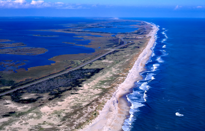
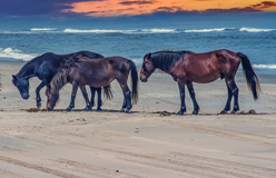
◀ The Outer Coastal Plain is a low, flat region along the Atlantic Ocean. It comprises the Tidewater region and the Outer Banks (shown here). The Tidewater represents the coastal area. This is the location where rivers discharge into the ocean. The Outer Banks encompass a chain of islands. Jockey’s Ridge, the tallest sand dune system on the Atlantic coast, is located on one of these islands.
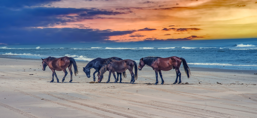
▲ The Outer Banks also harbor herds of wild horses. The ancestors of these horses were introduced to the islands by explorers during the early 16th century. Whether the horses were survivors of shipwrecks or were abandoned by failed colonies remains a mystery for historians and naturalists.