Free
If you live in California’s Central Valley, the people at your party are sure to enjoy delicious, fresh food!
Home to the state capital, Sacramento, it is one of the world’s most productive farming regions. More than half of the vegetables, nuts, and fruits grown in the United States come from the Central Valley.
The Central Valley is in the center of California. It is almost 450 miles in length. It occupies more than 10 percent of California’s land area. Bakersfield, Fresno, Stockton, and Redding are cities in the Central Valley.
The Central Valley is a region of low land. It is east of the Coast Ranges and west of the Sierra Nevada. The Sacramento River flows through the northern part of the valley. The San Joaquin River runs through the southern part. As they flow, smaller rivers join them. We call such smaller rivers tributaries. ▶
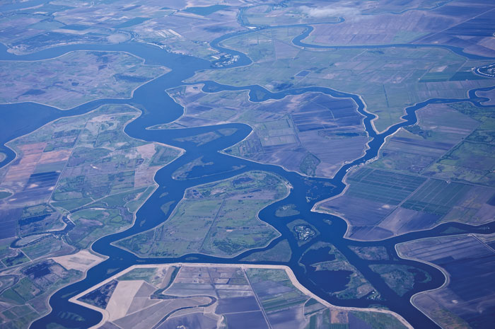
◀ The Central Valley is hot and dry in the summer. It's cool and moist in the winter. A thick ground fog called “tule fog” settles on the valley in the fall and winter rainy season. Tule fog takes its name from a grass native to the Central Valley. The native plant communities include grasslands, chaparral, and wetlands. Water for crop irrigation comes from the San Joaquin and Sacramento Rivers.
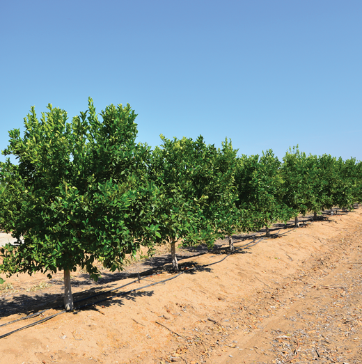
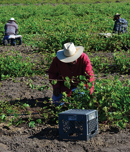
The Central Valley has few cities, but many farms. The environment is perfect for farming, with a 10-month growing season. That’s when the weather is warm enough for crops to grow. Farmers choose crops that like a warm, dry climate: almonds, olives, peaches, melons, and kiwifruits. Other people work in food processing, preparing the crops to be distributed and sold. Raising livestock is also an important industry.
The rivers and lakes in the Central Valley are important for more than irrigation. People swim, boat, or fish there almost all year. ▶
The Central Valley Project
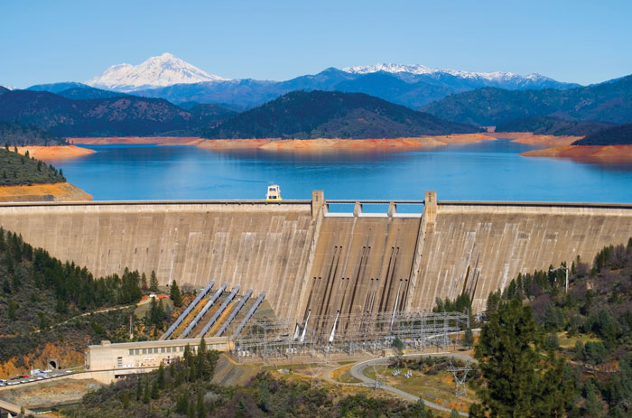
▲ Engineers built large dams on the rivers that come into the Central Valley. The dams keep rivers from overflowing in the spring and drying up in the fall. The Central Valley Project made a lot more water available for farming. But it destroyed the natural habitat for Chinook salmon in the area.
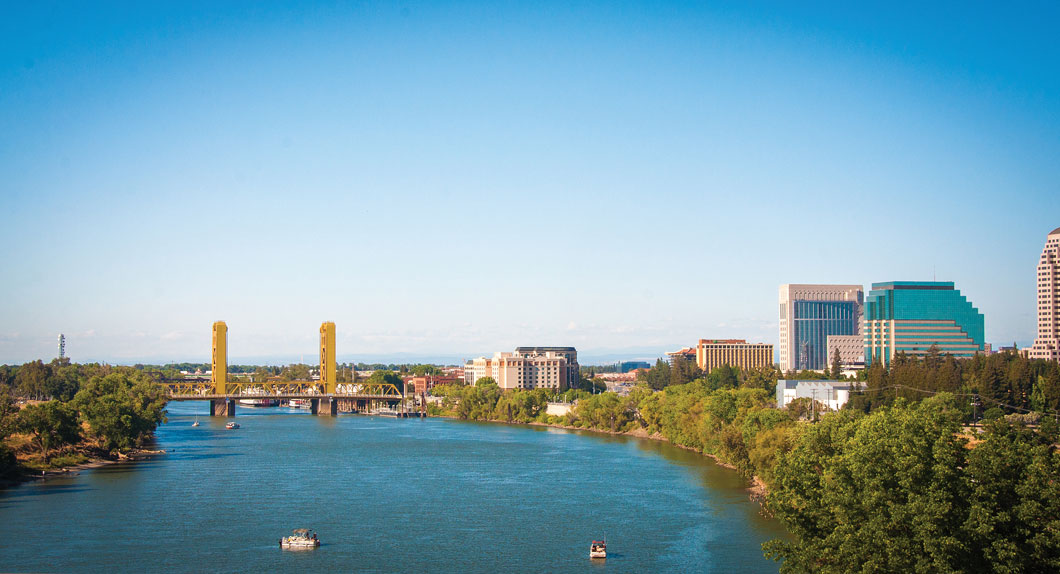
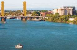
▲ Sacramento is the capital of California. With a population of more than half a million people, it’s the biggest city in the Central Valley. Sacramento first became an important trade center in the 1850s. Farmers brought crops there to be shipped out. They sent the crops by boat to San Francisco. Sacramento was also a central location for merchants. They sold supplies to miners hunting for gold in the Sierra Nevada. The city became the state capital in 1854.
Learn More!
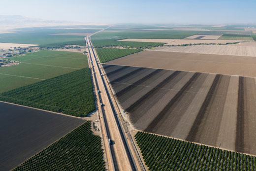
◀ California’s Highway 5 travels through the Central Valley. It connects Los Angeles and Southern California with the Bay Area. Its route follows the valley’s flat, straight shape. The 5, as it is called, is heavily traveled by cars and by trucks carrying goods. Many people choose it over smaller highways that wind through mountain or coastal roads. In the fall and winter, tule fog can make driving on the highway difficult.
This is a map of precipitation: rain, hail, sleet, and snow. It shows that the Central Valley gets more rain than Southern California does. The valley gets less than the Mountain Region does. But the Central Valley still gets the benefit of rainfall in the mountains that rise along its eastern side. Snowmelt and rain run off the peaks. That water flows into the valley. This flow, or watershed, returns water to the valley as it moves downriver toward San Francisco. ▶