Free
Tired of your day-to-day life? Looking for an escape? Try browsing through an atlas, or book of maps.
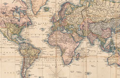
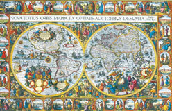
Maps can take you on imaginary trips all over the world—and even out of this world. Most folks use maps to help them get from one place to another. But maps can also give you ideas for new places to go. They help us peek into the past. They show how people saw the world at different times in history.
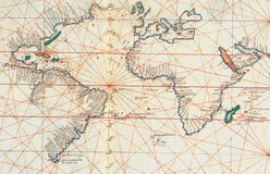
A map is a picture. It shows how places connect and compare to each other. A single map can’t tell us everything—there’s not enough room. So each map shows a selected reality. A map may be scribbled on scrap paper. Or it may be a carefully painted work of art.
Mapmaking, or cartography, is both a science and an art. People expect maps to be both pretty and accurate. Let’s look at some maps and visit new places!
Over the centuries, cartographers (mapmakers) have come up with ways to make maps easy to read. Here are some of them. ▼
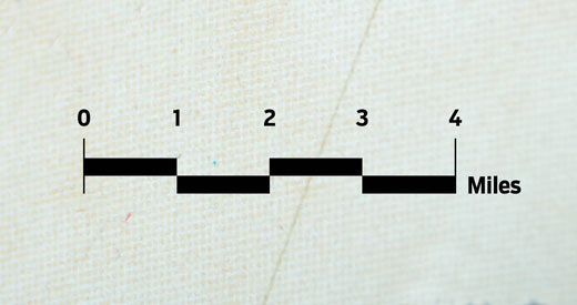
◀ Scale
Scale is how the map size compares to actual size. On any map, a small distance equals a larger real distance.
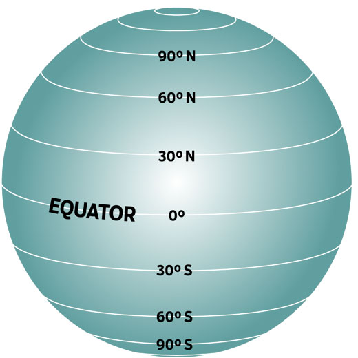
▲ Latitude
We measure latitude in degrees north or south of the equator. The equator is the imaginary line around the center of the Earth. There are 90° of north latitude and 90° of south latitude.
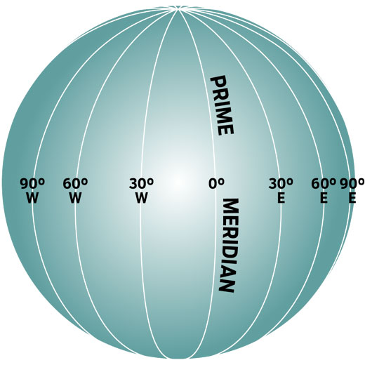
▲ Longitude
Longitude is the distance east or west of the prime meridian. That’s an imaginary line that runs north–south through Greenwich, England. The prime meridian is 0°.
▲ Coordinates
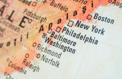
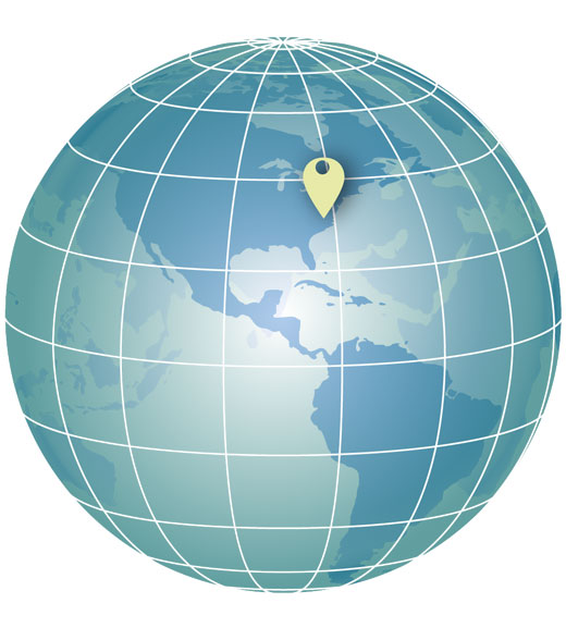
Each degree of latitude and longitude is divided into 60 minutes (60'). Each minute is divided into 60 seconds (60"). Want to know exactly where a place is? Get its coordinates. Those are numbers that describe a place’s latitude and longitude. The coordinates of Washington, D.C., are latitude 38° 54' 2" N and longitude 77° 00' 34" W.
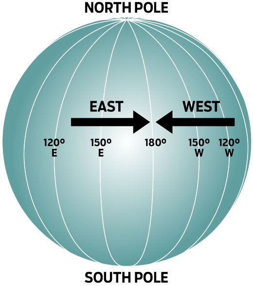
▲ Date Line
The international date line is another imaginary line. It runs north–south through the Pacific Ocean, mostly along the 180th meridian. It’s on the other side of the world from the prime meridian. There are 180 degrees of west longitude and 180 degrees of east longitude.
▲ Legend
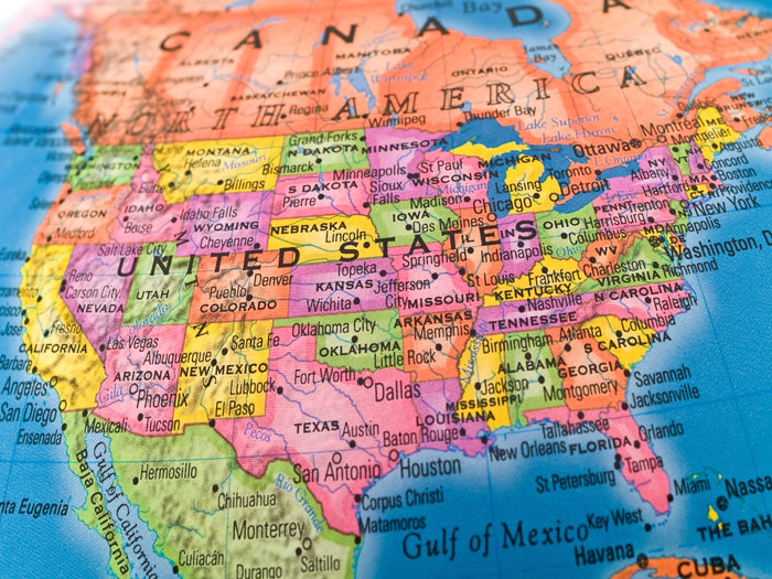
Maps use symbols to represent information. A dot usually means a city, for example. The bigger the dot is, the bigger the city is.