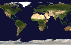
You might know exactly where you are. But how do you explain that to someone else? How can you tell them where your home is, on a map?
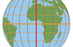
Think of a football field. It has lines going across the field, marking every five yards. If the referee tells you to line up at the 20-yard line, you know right where to go. Mapmakers use the same idea, using these two common techniques: grids, and latitude and longitude.

